World Maps
Tools for Possibilities: issue no. 69
Once a week we’ll send out a page from Cool Tools: A Catalog of Possibilities. The tools might be outdated or obsolete, and the links to them may or may not work. We present these vintage recommendations as is because the possibilities they inspire are new. Sign up here to get Tools for Possibilities a week early in your inbox.
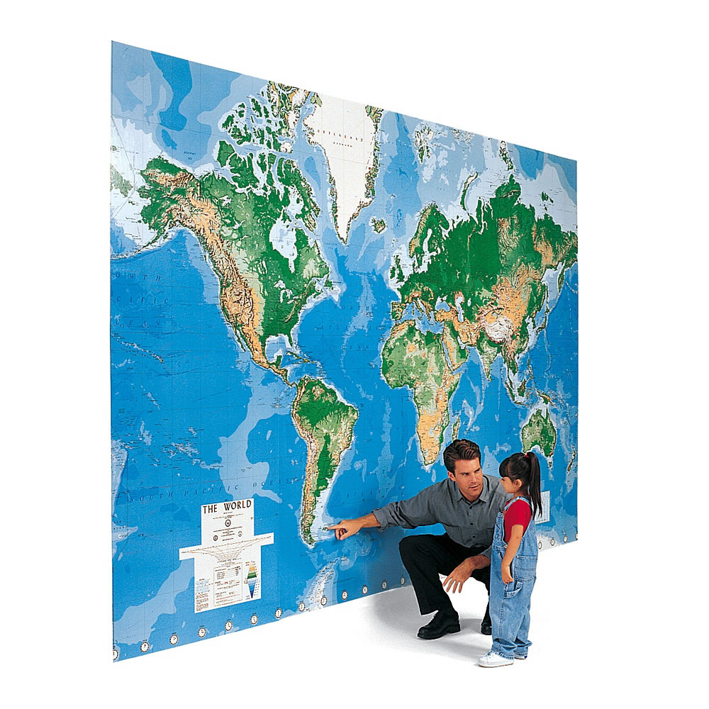
The largest map of the world
The world’s most educational wallpaper. Also the largest map of the world commercially available — 9 feet by 13 feet. It is impressive. Standing in front of it, your gut senses a large blue ocean world. It is pretty crude cartography, however; large cities only are depicted and some countries are out of date. Be forewarned you need a quite large blank wall to contain it (you need to trim 8 inches off the top just to squeeze it onto the standard residential wall), although I’ve seen folks wrap it around corners, dormers and windows. Think of it as beautiful wall paper, which it is. Works well in an office — particularly since you can write on the plasticized map with dry erase markers. Doodle in your travels. It could also be used on a floor. It comes in 8 pieces, each 3×4 feet, applied with wallpaper paste (included). That modularity gives you another bonus. You can arrange the pieces so that they center the world on your choice: the Americas, Europe and Africa, or Asia. I like it because it gives me an overwhelming sense of the scale of our planet. —KK
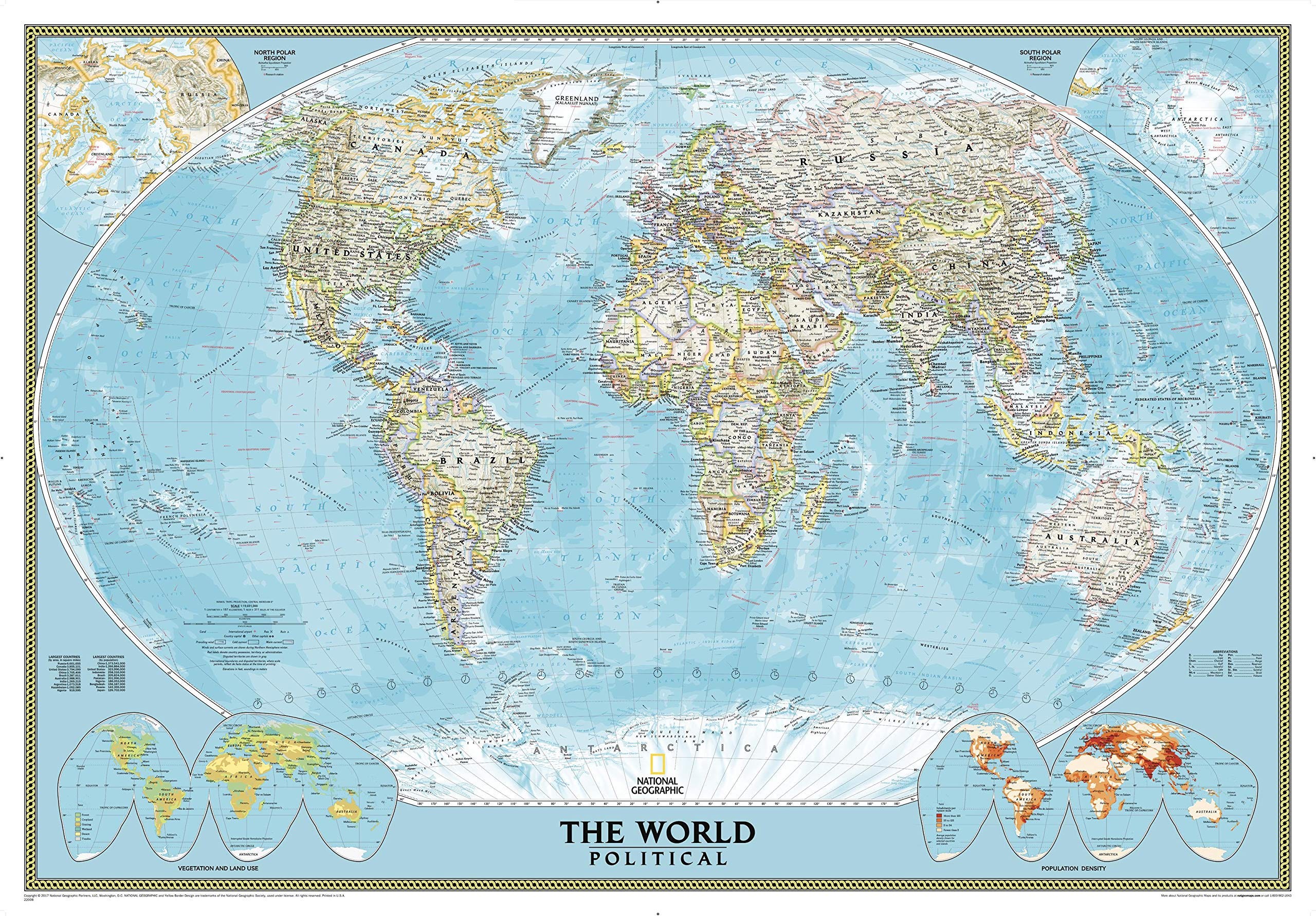
Very large up-to-date political map
Most homes have limited uninterrupted wall space, so I’ve found this wall map from National Geographic to be the largest practical map of the world. Sized: 70 by 49 inches. Contains adequate political detail, crisp geographic printing, and is current as of 2010. — KK
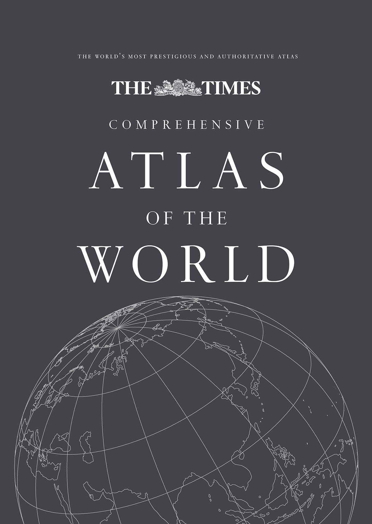
World’s best world atlas
This is the best atlas of the world. Period. It is the most accurate, clearest, most-up-to-date, and most comprehensive atlas ever published. Unlike previous atlases, it locates and names those hundreds of thousands of towns where most of the people of the world live. However, even the best atlas is inferior to Google Earth in terms of detail, currency, and searchability. In a world of Google Earth, a great atlas is still superior for browsing and larger overview. Use this with online maps. — KK
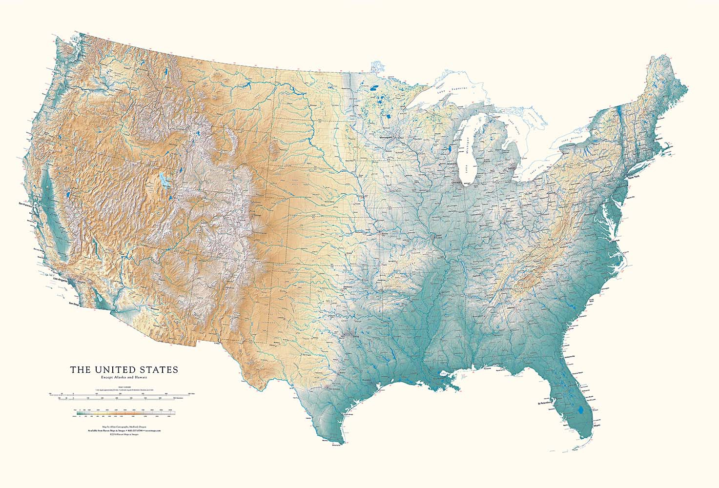
Best US state wall maps
Raven maps are artwork. They are the most detailed US state maps you can find on one sheet. Printed in exquisite detail on heavy paper, they radiate clarity. Their colored shaded relief highlights the topology of their place with intelligence and precision. Unlike most maps, Raven maps deliver two perspectives at once — an expansive overview and tiny close-up details — a very rare combination you won’t find in an atlas or road maps.
These single sheet maps are also huge — the California map, for instance, is more than 5 feet high. If you have a blank wall, the blend of art and science in these wall maps can’t be beat. They act like a doorway or window. I’ve found that most folks can spend hours studying their home state, reveling in the vast overview and minute discoveries — “hey, I didn’t know about that!” — of their own turf.
They also make fine gifts. If you get the laminate version you don’t need a frame. — KK
The big perspective
To change your perspective on things, go up and look down. This volume has a portfolio of aeriel views similar to the Georg Gester classics, Grand Design and Below from Above, but without those books’ lyrical elegance. There’s wider variety here, blunter politics (clear-cutting, ugh!), and more of the Earth’s bioregions covered. — KK
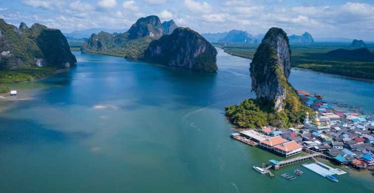
Village of Koh Pannyyi, in Phangnga Bay near Phuket, Thailand. Koh Pannyyi is a fishing village floating on bamboo shoots.
01/15/24